Galehead

Post-trip Notes
Similar to Carrigain in that the first 3 miles were relatively flat, non-technical trail and then it gets steeper and rockier. One small stream crossing about at ~1.5 miles that is easy to rock hop across. Muddy spots were small, infrequent and relatively frozen. Used microspikes on last 1-1.5 miles for ice and light snow dusting. One blowdown that was easy to step over. No view at the peak but good views at a marked lookout just before and at Galehead hut. Would be a good beginner trail for people new to the 4,000 footers.
Pre-trip Plan
Date: 2020-11-15 Route: via Gale River Trail (AllTrails)
- Stream crossings1: No
Distance (miles): 10.2
Elevation Gain (ft): 2,519
Recent trail reports: (AllTrails, TrailsNH)
- Dry Trail, Wet Trail, Wet/Slippery Rock, Standing/Running Water on Trail, Mud - Minor/Avoidable, Mud - Significant, Leaves - Significant/Slippery
- Trails were in great shape overall. I was able to bareboot for the entire hike. Micros made great bear chimes.
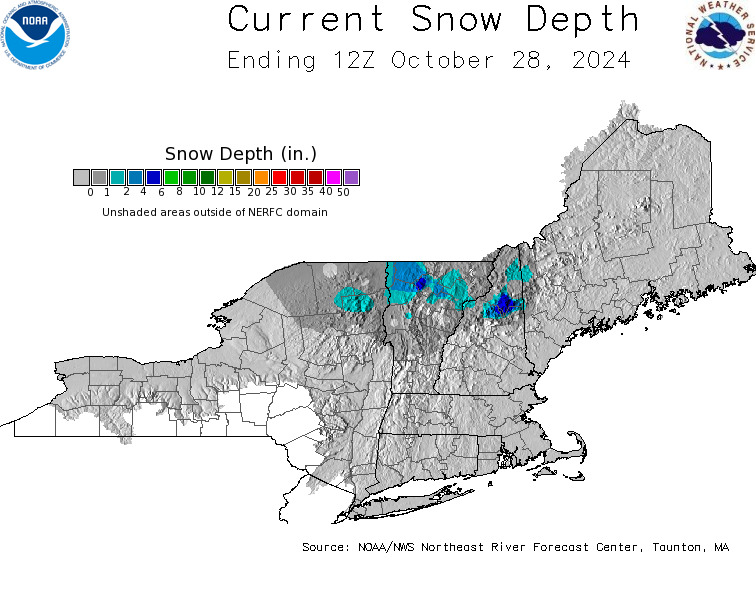
Snowpack (Forest Service hi-res or NOAA NE Map): 0”
Weather (Windy): www.windy.com/44.185/-7…

Pre-hike Checklist
- Check: East Branch of the Pemigewasset River, Saco River. Saco River at above 4.0-4.5 feet means some river crossings have the potential to be difficult or even dangerous on peaks near that area [return]