Mount Carrigain Trip Report
WMNF Map 3 / H7

Post-trip Notes
Trail was in great shapel. Good beginner trail. ~2 miles of flat, wide trail at the beginning and then more rocky and steep 3 miles up to the ridge. Good views along the ridge and at the summit and observation tower.
Pre-trip Plan
Date: 2020-11-14 Route: via Signal Ridge Trail (AllTrails)
- Stream crossings1: Yes - about .7 - 1 mile in. Easy crossing.
Distance (miles): 10.4
Elevation Gain (ft): 3,471
Recent trail reports: (AllTrails, TrailsNH)
- Muddy
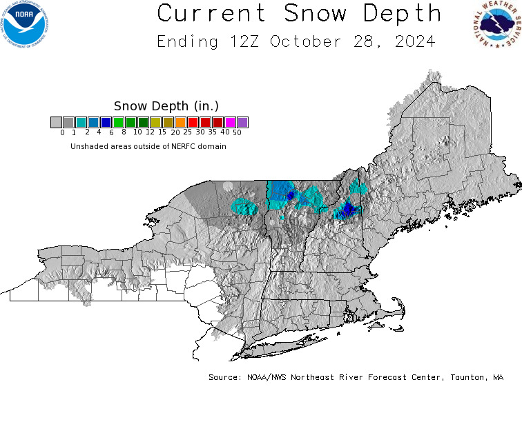
Snowpack (Forest Service hi-res or NOAA NE Map): 0”
Weather (Windy): www.windy.com/44.094/-7…

Pre-hike Checklist
- Check: East Branch of the Pemigewasset River, Saco River. Saco River at above 4.0-4.5 feet means some river crossings have the potential to be difficult or even dangerous on peaks near that area [return]